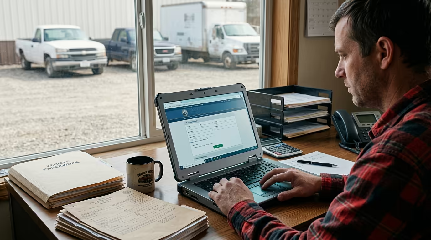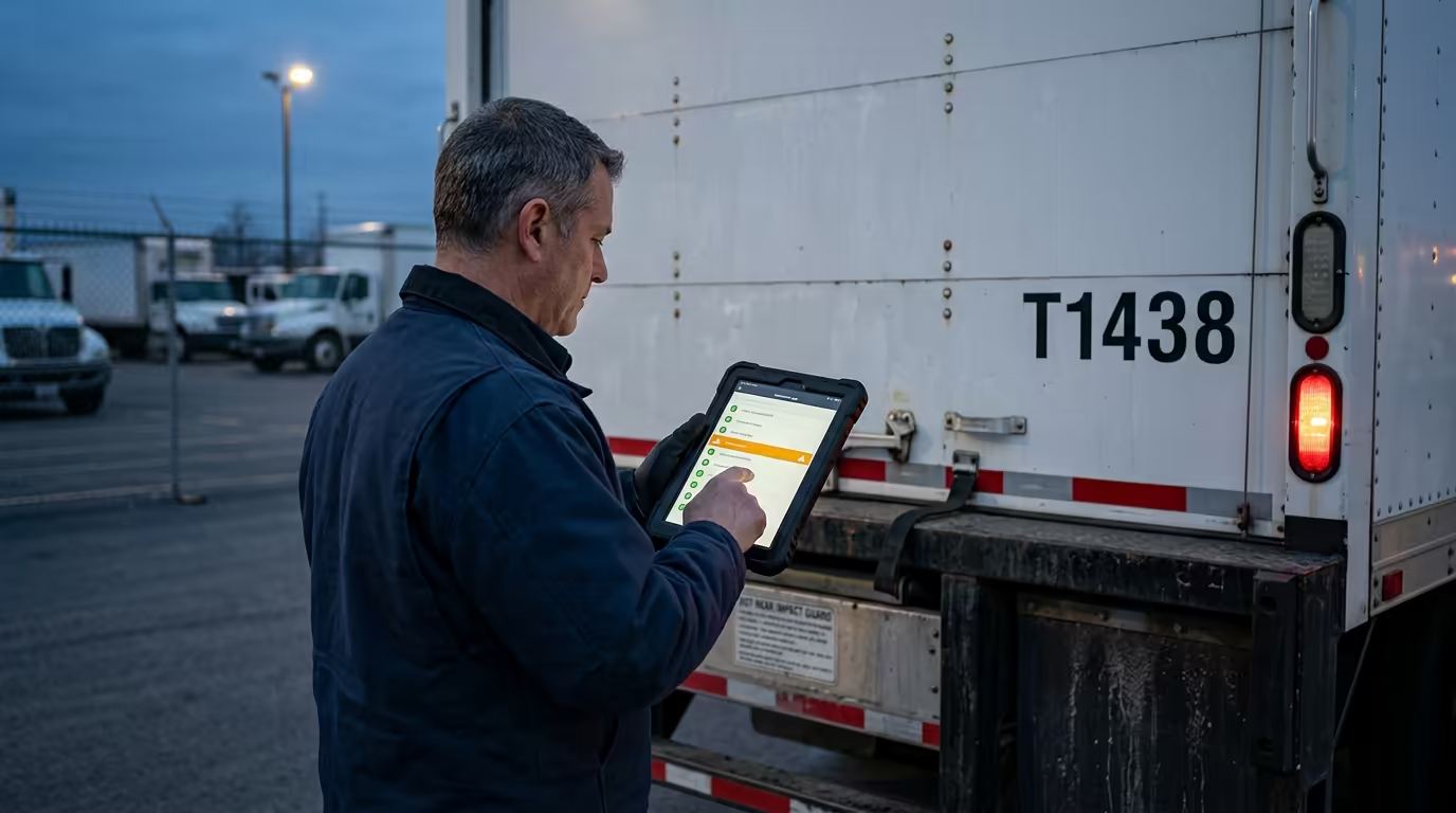
How Does Geofencing Work? A Fleet Guide
How does geofencing work? A virtual boundary on a map fires an entry/exit alert when an asset crosses it — and what fleets do with that event.
Key takeaways
- A geofence is a virtual boundary you draw on a map around a real place; when a tracked asset crosses it, the system fires a timestamped entry or exit event — and a rule you set turns that event into an alert, a record, or an automated action.
- Fences are circles (a radius around a point) or polygons (traced to a property line), and they only ever produce three things: entry, exit, and dwell.
- The chain: tracker reports position → platform compares it to your fence → a crossing fires an entry/exit event → your rule decides what happens. The event is raw; the rule makes it useful.
- Fleets use it for job-site arrival/departure and automatic time-on-site, after-hours and theft alerts, dwell and utilization, and feeding engine-hours-by-site into PM and work orders.
- A crossing is only as timely as the position is fresh — long report intervals or degraded fixes near tall buildings or heavy cover make alerts late or missed, so right-size fences and only fence what you'll act on.
A boundary that watches the map for you
The dispatcher radios the driver: "You on site yet?" The driver says "almost," which could mean five minutes or forty. Meanwhile a skid steer walked off the yard over a long weekend and nobody noticed until Monday. The fix for both isn't somebody staring at a live map all day. It's a boundary that watches the map for you. So let's answer it plainly: how does geofencing work, and what does it actually do for a fleet?
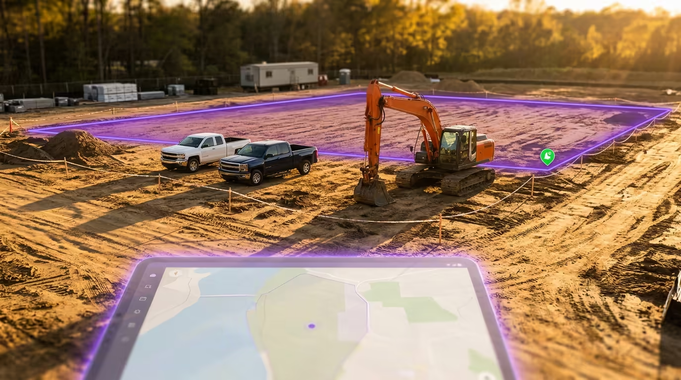
Here's the whole idea in one sentence. A geofence is a virtual boundary you draw on a map around a real place — a yard, a job site, a customer, a fuel stop, a restricted zone — and when a tracked asset crosses that line, the system fires an entry or exit event you can turn into an alert, a timestamp, or an automated action.
Locating the asset is a separate job — that's what GPS tracking does , and it's worth reading first if you want the satellite-to-map chain. This post is about what you build on top of that location: the boundary, the crossing, and the rule you hang on it.
What Is Geofencing?
What is geofencing? It's drawing a boundary around a real-world location in your tracking software, so the system can tell when an asset is inside it, outside it, or just crossed the line. The fence isn't physical and it isn't on the ground. It's coordinates on a map, and the software does the watching.
You draw a fence in one of two shapes:
- A circle — a radius around a single point. Fast to set up. Good for a fuel stop, a customer's front gate, a wash bay — anywhere a "close enough" ring around one spot does the job.
- A polygon — a shape you trace to the actual boundaries. Good for an irregular job site, a yard that isn't square, or anywhere you want the fence to hug the property line instead of spilling into the road or the lot next door.
Whatever the shape, the fence only ever produces three things: an entry (an asset crossed in), an exit (an asset crossed out), and dwell (it's still inside, and here's how long). Every geofencing feature you've ever seen is one of those three events with a rule attached. The fence is the setup. The event is the point.
How a Geofence Event Actually Fires
How does geofencing work under the hood, link by link? It's a short chain, and the value is in not skipping the last step. The position itself comes from the GPS tracking chain ; the geofence is what the platform does with it:
- The tracker reports its position. GPS gives the position, cellular delivers it to the software.
- The platform compares that position to your fence. Every time a fresh position lands, the software checks: inside the boundary, or outside? This comparison usually happens on the platform, not on the device — the tracker just reports where it is; the software decides what that means.
- A crossing fires an entry or exit event. The moment the answer flips from outside to inside (or back), that's a logged, timestamped event.
- Your rule decides what happens. An alert to a phone. A timestamp on the asset's record. A line in a compliance log. An automated action downstream. The event is raw; the rule is what makes it useful.
So a rule reads like a sentence: "If a vehicle enters this customer's job site, send an arrival notification to the project manager." Or: "If any asset exits the yard after 7 PM, text the fleet manager." Boundary, trigger, action.
One honest caveat, because it bites people. A crossing is only as timely as the position is fresh. If a tracker reports on a long interval, or the fix is degraded near tall buildings or under heavy cover, the asset can cross the line a while before the next position lands — so the alert is late, or a quick in-and-out gets missed entirely. Geofencing isn't a frame-accurate trip wire. The U.S. government's published GPS commitment is roughly 7.8 meters at 95% on the signal in space (GPS.gov, GPS Accuracy) — and that's a spec on the broadcast signal, not a promise about your device or your fence. Real-world freshness depends on the tracker and how often it reports. Size your fences knowing this, and they'll do exactly what you need.
Geofencing in Fleet Management — What You Actually Do With It
This is where geofencing earns its keep. The entry/exit event is the raw material; here's what fleets turn it into.
Job-site arrival and departure — automatic time-on-site. A geofence around each job site turns every entry and exit into a timestamp. That's an arrival ping to the PM, a departure record, and — entry to exit — the asset's actual hours on that site, logged without anyone writing anything down. For geofencing for job sites, this is the headline: a virtual timecard for equipment and crews, and clean proof of service when a customer asks whether you were really there.
After-hours and unauthorized-use alerts. This is the one that pays for the system on a construction fleet. A fence around the yard with an exit rule outside working hours means the moment a machine leaves when it shouldn't, you know — not Monday morning. Pair that geofence alert with the asset's last-known breadcrumb and you've got a real shot at recovering a stolen trailer or generator instead of filing a report and hoping.
Dwell and utilization. Time-inside answers a question the map alone can't: is this asset working the site, or just parked on it? Dwell time inside a job-site fence, against the hours it was actually running, is the honest read on whether a unit is earning its keep or sitting.
Maintenance and work orders. Here's the tie-in nobody makes. Entry and exit bracket a work window, so the engine hours accrued between them are hours by site. Feed those readings into a preventive-maintenance program and PM triggers on real usage instead of a guess. And a geofence event doesn't have to stop at a notification — a crossing can become a tracked job on the right unit instead of dying as a text someone swipes away.
A construction outfit running a mixed yard — pickups, powered equipment, and non-powered trailers across several active sites — leans on all of these at once. (More on that case in our construction fleet guide .)
Setting Up Geofences People Don't Mute
The fastest way to ruin geofencing is to fence everything. Twenty overlapping zones firing all day become noise, and noise gets muted — and a muted alert is the one that doesn't reach you the night the skid steer walks. A few rules keep them sharp:
- Fence what you'll act on. Your yard, your top job sites, restricted zones, your key customers. Not every gas station the trucks pass.
- Right-size the boundary. Too tight and normal GPS drift triggers false crossings or misses real ones; too loose and the alert comes late. Match the fence to the fix quality you actually get at that spot — open job site, snug it up; downtown dock surrounded by towers, give it room.
- Pick the trigger per fence. Entry for arrivals, exit for departures and after-hours, a dwell threshold for "parked too long." One fence doesn't need every rule.
- Route each alert to the person who acts. The PM gets arrivals, the fleet manager gets after-hours, the shop gets the hours-by-site. An alert nobody owns is an alert nobody reads.
This is where one tool does the unglamorous part. In FS365's asset GPS tracking, every geofence entry and exit is logged against the specific unit — so the same crossing that pings you also rolls into that asset's on-site hours and its history, and you draw, watch, and act on every fence in one place instead of stitching alerts to a spreadsheet by hand. It's one example of the loop done right; the principle holds no matter what you run.
Conclusion
A geofence isn't really a fence — it's a trigger. You draw a boundary, the software catches the crossing, and your rule turns that crossing into an arrival timestamp, an after-hours theft alert, a time-on-site number, or an engine-hours reading that feeds PM and a work order. Locating the asset is GPS's job; deciding what its location means is yours, and the geofence is how you automate that decision.
The skid steer that walks off the yard isn't a mystery you solve Monday. It's an exit event you should've gotten Saturday night.
Frequently Asked Questions
How does geofencing work in simple terms?
You draw a virtual boundary on a map around a real place. When a tracked asset crosses it, the system fires a timestamped entry or exit event, and a rule you set turns that event into an alert, a record, or an automated action.
What is geofencing used for in a fleet?
Job-site arrival and departure logging, time-on-site, after-hours and theft alerts, dwell and utilization, and tying location events to maintenance and work orders — turning a position on a map into an action.
What's the difference between a geofence and GPS tracking?
GPS tracking locates the asset and puts it on your map. A geofence is a rule layered on top of that location — it fires when the asset enters or leaves an area you've drawn. One is position; the other is what you do with it.
How accurate is geofencing?
It's only as accurate as the underlying GPS fix and how often the tracker reports. The U.S. government's signal-in-space commitment is about 7.8 meters at 95% (GPS.gov), but that's a spec on the satellite signal, not your device. Crossings near tall buildings, under heavy cover, or on long report intervals can be late or missed — so size your fences with some margin.
Can a geofence trigger an automatic action, not just an alert?
Yes. An entry or exit can log on-site time, start a timestamp, capture engine hours by site, or feed an event into your maintenance and work-order workflow — not only fire a notification.
What's a good size for a geofence?
Big enough to absorb normal GPS drift so you don't get false crossings, small enough that a crossing actually means the asset is there. Match it to the fix quality at that location — tighter on an open site, looser where buildings or cover degrade the signal.
Start a free 14-day trial. No credit card, no usage caps.
Start free trial →